Home › Blog › Colombia Earthquake 7.4 Magnitude
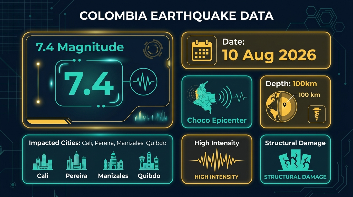
Colombia Earthquake 2026: 7.4-Magnitude Quake Hits Chocó Department; Over 164 Dead & National Emergency Declared
Bogotá / Quibdó, August 11, 2026 — A powerful 7.4-magnitude earthquake struck western Colombia on Monday morning, August 10, 2026, at approximately 7:34 a.m. local time (12:34 UTC), leaving behind widespread destruction, significant loss of life, and structural collapse across multiple urban centers. According to the Colombian Geological Service and emergency response authorities, at least 164 people have been confirmed dead as of Tuesday morning, with over 800 injured and more than 3,000 reported missing across the affected regions.
The earthquake's epicenter was localized in the rainforest-heavy Chocó department near the municipality of San José del Palmar, approximately 400 kilometers west of the capital city, Bogotá. The intense seismic shock was felt across major urban belts in central and western Colombia, including Cali, Pereira, Quibdó, and Manizales, and triggered alarm as far away as neighboring Ecuador and Panama.
Current Affairs Key Takeaway: The August 10, 2026 Colombia earthquake (Magnitude 7.4) is officially recorded as the strongest seismic event in Colombia over the past decade, originating in Chocó department at a focal depth of 100–110 km.
Epicenter, Seismic Depth, and Regional Impact
Geophysical assessments released by the Colombian Geological Service confirm that the earthquake originated at a intermediate focal depth of approximately 100 to 110 kilometers. This depth allowed seismic waves to travel across vast distances, vibrating high-rise structures in Bogotá, Medellín, and international border areas.
The tectonic interaction between the Nazca plate and the South American plate along the Pacific margin of Colombia makes the region prone to seismic activity. However, the sheer energy release of the 7.4-magnitude shock sent immediate shockwaves across the Western Cordillera mountain range, triggering secondary landslips along key highway corridors connecting Chocó with Antioquia and Valle del Cauca.
| Seismic Metric | Event Details (August 10–11, 2026) |
|---|---|
| Magnitude | 7.4 Mw (Moment Magnitude) |
| Date & Time | August 10, 2026 at 07:34 Local Time (12:34 UTC) |
| Epicenter Location | San José del Palmar, Chocó Department, Colombia |
| Focal Depth | 100 km – 110 km |
| Confirmed Casualties | 164+ Deaths, 800+ Injured, 3,000+ Missing |
| Major Impacted Cities | Cali, Pereira, Quibdó, Manizales, Armenia |
Casualty Toll and Search & Rescue Operations
As relief workers dig through rubble, the death toll has climbed steadily from early estimates of 110 to 164 verified fatalities. Emergency medical centers in Pereira and Cali have reported treating over 800 individuals suffering from trauma injuries, fractures, and shock. Search teams backed by heavy machinery, trained sniffer dogs, and military personnel continue to clear debris in heavily affected residential zones.
In Quibdó, the departmental capital of Chocó, communication disruptions and blocked rural access roads severely hindered initial assessment efforts. Military helicopters were deployed to airlift critical medical supplies and transport critically injured survivors to tertiary care hospitals in Medellín and Bogotá.
Infrastructure Damage in Cali, Pereira, Quibdó, and Manizales
More than 1,000 buildings have suffered partial or structural damage across western departments. Notable heritage sites and modern infrastructure were severely damaged during the tremor:
- Manizales Cathedral: A section of the historic cathedral tower collapsed, prompting immediate cordoning of the central plaza.
- Cali Urban Belt: Multi-story residential apartments experienced facade collapses, broken water mains, and power grid failures affecting over 250,000 residents.
- Pereira Transport Network: Key arterial bridges and overpasses suffered structural cracks, forcing temporary closure of regional transit corridors.
- Telecommunications & Power: Power outages swept through rural Chocó, with emergency repair crews working around the clock to restore essential utilities.
Presidential Emergency Declaration & International Assistance
Colombian President Abelardo de la Espriella declared a State of National Emergency during a national address late Monday evening. The declaration authorizes emergency disaster relief funds, mobilizes the national armed forces for logistics, and streamlines international aid intake.
Neighboring South American nations and international humanitarian groups, including Direct Relief and the Red Cross, have initiated emergency supply shipments containing clean drinking water, field hospitals, and temporary shelters for thousands rendered homeless by the quake.
Frequently Asked Questions (FAQ)
Q: When and where did the Colombia earthquake occur?
A: The earthquake occurred on August 10, 2026, at 7:34 a.m. local time, centered near San José del Palmar in Chocó department, Colombia.
Q: What was the magnitude of the earthquake?
A: The earthquake registered a magnitude of 7.4 on the moment magnitude scale at a depth of approximately 100 km.
Q: How many casualties have been reported?
A: As of August 11, 2026, official sources report at least 164 deaths, 800+ injured, and over 3,000 missing persons across Colombia.
Stay Updated on Global Current Affairs & Exam News
Get daily updates on world news, international relations, and competitive exam preparation notes.
Daily Current Affairs → Latest News Updates →Join our official Telegram channel for instant updates: @rrbcontents