Home › Blog › India Weather Forecast 29 July 2026

India Weather Forecast 29 July 2026: Heavy Rain Alert Across 16 States
The southwest monsoon continues its active spell across large parts of the country on Wednesday, 29 July 2026. A deep depression that had formed over the northwest Bay of Bengal has moved inland over north interior Odisha and adjoining Gangetic West Bengal. It is tracking west-northwestwards across north Odisha, south Jharkhand and north Chhattisgarh. This system, combined with the ongoing monsoon trough, is triggering widespread rainfall, heavy to extremely heavy showers in several pockets, and thunderstorms with lightning and gusty winds.
According to the India Meteorological Department’s All India Weather Summary and Forecast Bulletin issued on 28 July 2026, isolated extremely heavy rainfall (≥21 cm) is very likely over Chhattisgarh, East Madhya Pradesh and Vidarbha. Heavy to very heavy rain is expected at many places over Haryana, Chandigarh & Delhi, Punjab, Himachal Pradesh, Uttarakhand, Odisha and parts of the Northeast. Fairly widespread to widespread rain will cover large sections of northwest, central, eastern and western India.
For ordinary citizens, farmers, travellers and students preparing for competitive examinations, understanding the day’s weather is not just about carrying an umbrella. It is about anticipating waterlogging in cities, possible landslides in the hills, disruptions to transport, and the impact on standing crops. This detailed city-by-city and region-by-region forecast draws directly from IMD bulletins, press releases and observed data so that readers get a clear, usable picture rather than scattered headlines.
1. Overall Monsoon Scenario on 29 July 2026
The monsoon trough remains active. The deep depression is the primary driver of the intense rainfall belt stretching from Odisha through Chhattisgarh into East Madhya Pradesh and Vidarbha. IMD has specifically warned of isolated extremely heavy rainfall in these areas. In the northwest, the interaction of the trough with moisture-laden winds is producing fairly widespread to widespread rain over the plains and hills.
Thunderstorms accompanied by lightning and gusty winds (30-50 kmph, locally higher) are expected over many states. Flash flood risk remains low to moderate in some watersheds of central and eastern India. Fishermen along the east coast have already been advised against venturing into the sea in earlier warnings, and residual rough conditions may persist in pockets.
Monsoon rainfall over northwest and central India is likely to remain normal to above normal over the next four to five days, according to the extended range outlook issued by IMD.
2. Northwest India Forecast
Delhi-NCR (including Gurugram, Noida, Ghaziabad, Faridabad): Generally cloudy sky with moderate rain at many places and heavy rainfall at isolated locations. Thunderstorms with lightning are likely. Maximum temperatures are expected in the range of 32–34°C and minimums around 22–24°C in some official city forecasts, though urban heat can push felt temperatures higher. Visibility may drop during intense showers. Waterlogging is a strong possibility in low-lying areas and underpasses. Commuters should allow extra time and prefer public transport where possible.
Punjab and Haryana: Fairly widespread to widespread rainfall with isolated heavy falls. Thunderstorms and gusty winds are probable. Chandigarh is likely to see similar conditions. Farmers should postpone irrigation and protect harvested produce.
Rajasthan: East Rajasthan is expected to receive heavy rainfall at isolated places. West Rajasthan will see lighter activity. Jaipur may record temperatures around 33°C maximum with cloudy skies and intermittent rain.
Himachal Pradesh, Uttarakhand and Jammu-Kashmir: Widespread rainfall continues. Isolated heavy to very heavy rain is possible, raising the risk of landslides and road blockages on hilly routes. Tourists and pilgrims should check local advisories before travelling to higher reaches. Shimla and Nainital are likely to remain cool with maximums near 25°C.
3. Central India Forecast
This is the zone of highest intensity. Chhattisgarh is under a strong warning for heavy to very heavy rainfall with isolated extremely heavy falls. East Madhya Pradesh and Vidarbha face the same risk. West Madhya Pradesh will also see heavy rain at isolated places. Thunderstorms with gusty winds up to 50 kmph are likely.
Bhopal, Raipur, Nagpur and surrounding districts must prepare for possible urban flooding and power disruptions. River levels in the region may rise, and authorities have been alerted for flood monitoring. Agricultural activity, especially transplanting of rice, will be disrupted in waterlogged fields.
4. East and Northeast India Forecast
Odisha continues to receive heavy to very heavy rain at isolated places even as the system moves inland. Jharkhand, Gangetic West Bengal and Bihar will see significant rainfall. Kolkata is expected to remain cloudy with moderate to heavy showers and maximum temperatures near 29°C.
In the Northeast, Arunachal Pradesh, Assam & Meghalaya, Nagaland, Manipur, Mizoram and Tripura are likely to experience heavy rainfall at isolated places. Landslide risk remains elevated in hilly districts. Guwahati and other major towns should anticipate traffic slowdowns.
5. West India Forecast
Konkan & Goa, Madhya Maharashtra and Marathwada will see widespread rainfall with heavy falls at isolated places. Mumbai is likely to record temperatures around 28–30°C with intermittent moderate to heavy showers. High tide periods combined with rain can worsen waterlogging in low-lying suburbs.
Gujarat Region is under watch for increasing rainfall intensity, with extremely heavy rain possible by 31 July, but 29 July itself will bring active monsoon conditions and thunderstorms. Ahmedabad and Surat residents should stay prepared for sudden heavy spells.
6. South India Forecast
Karnataka (both coastal and interior), Kerala & Mahe, Telangana, Coastal Andhra Pradesh and parts of Tamil Nadu will experience heavy rainfall at isolated places along with thunderstorms and gusty winds. Bengaluru is expected to stay cloudy with light to moderate showers and temperatures in the low-to-mid 20s. Chennai will be warmer, around 35–36°C maximum, with cloudy skies and possible light rain or drizzle. Hyderabad may see slight intermittent drizzle and temperatures near 23–30°C.
The Western Ghats will continue to receive good monsoon rains, benefiting reservoirs but also raising the risk of localised landslides.
7. Major Metropolitan Cities – Detailed Outlook
New Delhi: Cloudy, moderate to heavy rain spells, thunderstorms. Max 32–34°C, Min 22–24°C (IMD city guidance). Traffic and metro disruptions possible.
Mumbai: Intermittent moderate to heavy showers, high humidity. Max ~30°C, Min ~28°C. Local train services may slow during peak rain.
Kolkata: Cloudy with moderate to heavy rain. Max ~29°C, Min ~27°C. Waterlogging in several areas likely.
Chennai: Mostly cloudy, light rain possible. Max ~36°C, Min ~29°C. Hot and humid.
Bengaluru: Cloudy with passing showers. Max ~27°C, Min ~20–21°C. Pleasant compared to plains.
Hyderabad: Slight intermittent drizzle, cloudy. Temperatures in the mid-20s to low-30s.
Ahmedabad: Active monsoon, possible heavy spells. Temperatures around 30–32°C.

8. Temperature Trends and Humidity
Most of north and central India will see maximum temperatures remaining below or near normal because of cloud cover and rain. Night temperatures in some northern stations may dip a degree or two below normal. Humidity will stay high (70–95 per cent) across large parts of the country, making the weather feel sticky even when temperatures are moderate. Coastal cities will continue to experience high relative humidity.
9. Impact on Daily Life, Travel and Agriculture
Urban centres face the usual monsoon challenges: waterlogged roads, delayed flights and trains, and short-term power outages during thunderstorms. Schools and offices in heavily affected districts may issue local advisories. In the hills, travellers on National Highways and pilgrimage routes should monitor landslide updates.
For agriculture, the rain is broadly beneficial for kharif crops in deficit areas, but excess water in Chhattisgarh, Vidarbha and East Madhya Pradesh can damage standing crops and delay intercultural operations. Farmers are advised to ensure proper drainage and avoid spraying pesticides during active rain spells.
10. Safety Advisories and Government Preparedness
IMD and state disaster management authorities have issued standard alerts: avoid underpasses during heavy rain, stay indoors during thunderstorms, keep emergency numbers handy, and follow local official channels. Fishermen on the east coast should continue to exercise caution. Municipal corporations in metros have activated flood-control teams and pumping stations.
11. Quick City-wise Summary Table
| City / Region | Expected Condition | Approx Max/Min (°C) | Alert Level |
|---|---|---|---|
| Delhi-NCR | Moderate to heavy rain, thunderstorms | 32–34 / 22–24 | Heavy rain isolated |
| Mumbai | Moderate to heavy showers | 30 / 28 | Active monsoon |
| Kolkata | Moderate to heavy rain | 29 / 27 | Active |
| Chennai | Cloudy, light rain possible | 36 / 29 | Moderate |
| Bengaluru | Cloudy with showers | 27 / 21 | Light–moderate |
| Hyderabad | Intermittent drizzle | 30 / 23 | Light |
| Chhattisgarh / East MP | Heavy to extremely heavy rain | Cooler | Extremely heavy |
| Vidarbha | Heavy to extremely heavy rain | Cooler | Extremely heavy |
| Punjab / Haryana | Widespread rain, isolated heavy | 32–34 range | Heavy isolated |
| Himachal / Uttarakhand | Widespread rain, landslide risk | 20–25 | Heavy |
| Gujarat | Active rain, increasing intensity | 30–32 | Watch |
| Kerala / Coastal Karnataka | Heavy rain isolated | 28–32 | Heavy isolated |
12. What the Coming Days Look Like
The system is expected to continue moving west-northwest. Extremely heavy rain risk shifts towards West Madhya Pradesh and later Gujarat Region by 30–31 July. Northwest India is likely to remain under the influence of the monsoon trough for several more days, keeping rainfall fairly widespread. South India will continue to receive good monsoon activity, especially along the west coast.
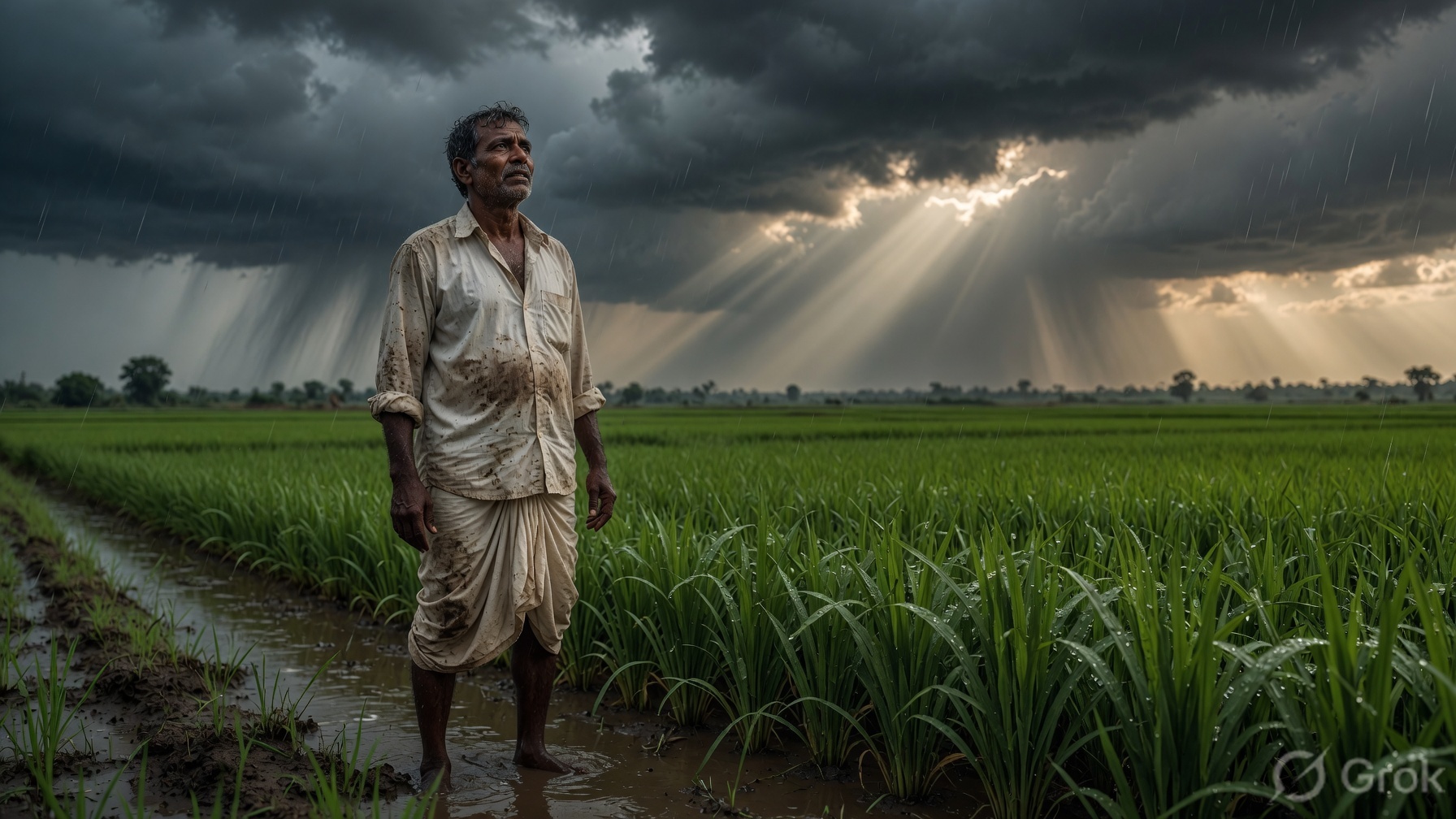
Monsoon is both a blessing and a challenge. On 29 July 2026 the balance tips towards intense rainfall in central and parts of northern and eastern India. Accurate, timely information from the India Meteorological Department remains the best guide. Stay updated through official sources, plan outdoor activities carefully, and take simple precautions against waterlogging and thunderstorms.
Monsoon Systems & Regional Climatology FAQ (For UPSC & State PSC Aspirants)
Q1: What defines a 'Deep Depression' in Indian meteorological classification?
Ans: According to IMD, a deep depression is a tropical weather system where the maximum sustained surface wind speed ranges between 28 knots (52 km/h) and 33 knots (61 km/h) with a closed central isobar system.
Q2: Why do deep depressions originating in the Bay of Bengal cause heavy rainfall in Central India?
Ans: As deep depressions track west-northwestward along the monsoon trough, they draw immense moisture from both the Bay of Bengal and Arabian Sea branches of the southwest monsoon, releasing latent heat and triggering prolonged downpours over Odisha, Chhattisgarh, MP, and Maharashtra.
For daily exam-oriented news analysis, current affairs, and comprehensive study notes, visit rrbcontents.com. Join our official Telegram channel @rrbcontents for daily updates and PDF downloads.
Master Current Affairs & World Events on RRBCONTENTS
Access structured study material, geography & polity notes, daily quizzes, and exam preparation resources.
Full Study Notes → Daily Current Affairs →Join our official Telegram channel for instant study resources: @rrbcontents